Dry Falls at Sun Lakes State Park
WATERFALL : Dry Falls
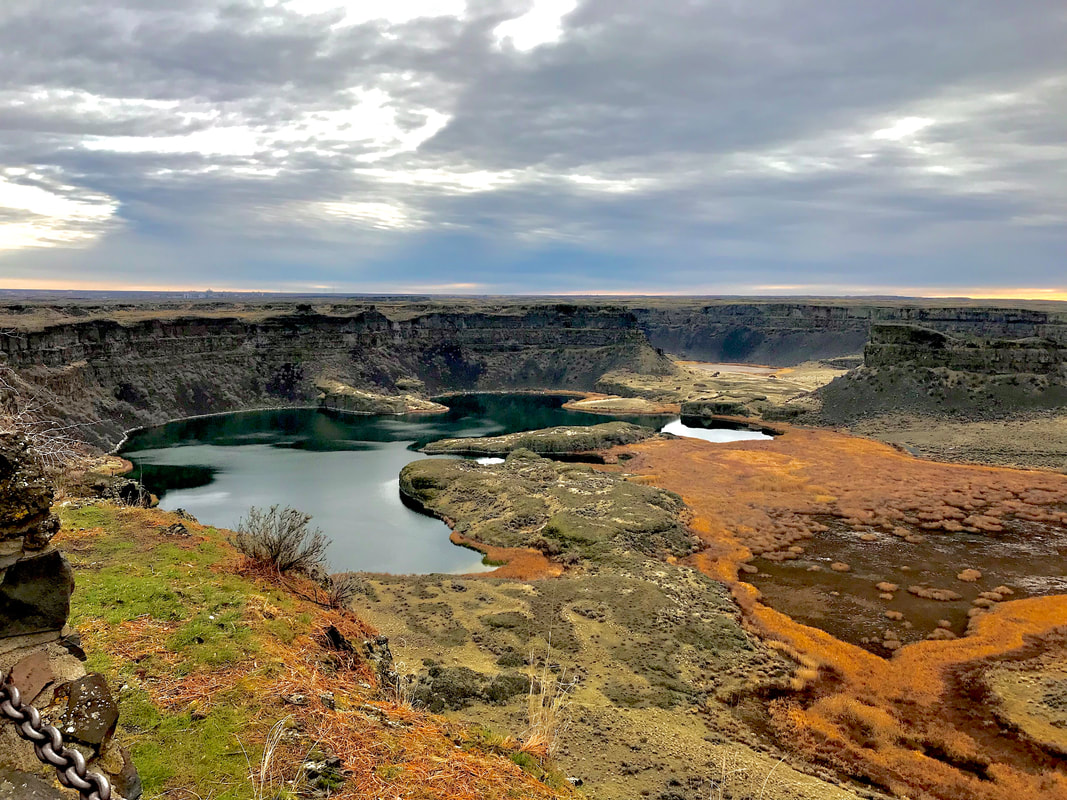
DROP: Once this 400 foot falls was the worlds largest waterfall. Now some 15,000 years later it is dry
WATERFALL TYPE: It was a block falls
DISTANCE CAR TO FALLS: From Sun Lakes State Park its about 105 miles
MAPS: Coulee City topo
GPS: 47°59’45” N 119°36’53” W
DROP: Once this 400 foot falls was the worlds largest waterfall. Now some 15,000 years later it is dry
WATERFALL TYPE: It was a block falls
DISTANCE CAR TO FALLS: From Sun Lakes State Park its about 105 miles
MAPS: Coulee City topo
GPS: 47°59’45” N 119°36’53” W
DESCRIPTION:
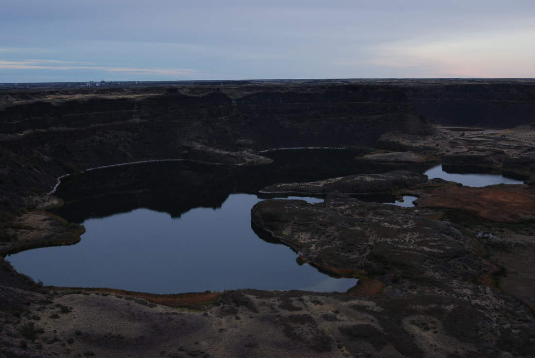
If you have never been to the Dry Falls area, you will be amazed at what the area represents.
The last rush of the Glacier Lake Missoula Floods was a mere 15,000~ years ago, but there were many before.
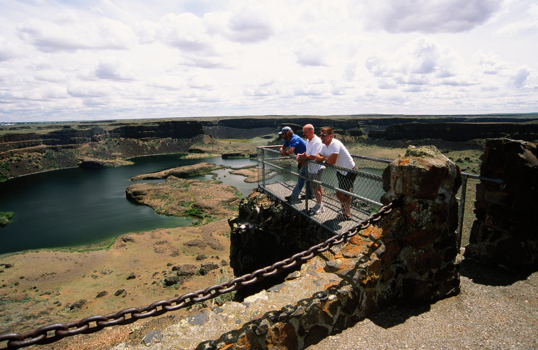
As you look out at the terrain from the visitors center on Hwy 17, imagine a wall of water 1,000+ feet tall rushing at 55 mph, over the far lip of the plunge pool it created. It is said that the volume of water released from the Clark Fork area in N. Idaho and Montana, was the size of Lakes Erie and Superior combined, and it emptied the majority of it's water in a day and a half.
To read more about what is considered the largest catastrophic event in the history of the world, click HIKE, then WASHINGTON, then double click WASHINGTON SCABLANDS, in the above menu.
OPTION #1:
MONUMENT COULEE
Monument Coulee is located within Sun Lakes State Park, off of Hwy 17 near Coulee City.
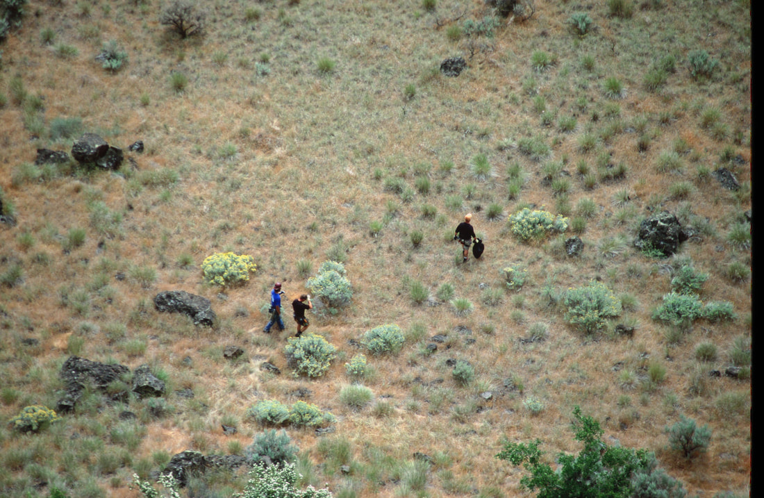
Drive thru Sun Lakes S.P. to the Deep Lake-Dry Falls Lake Road about 1.2 miles from Camp Delany. Hike up to Camp Delany, and follow the Monument Coulee trail, thru gigantic basalt columns. Some are still standing, some are leaning, while others are laying on the ground.
Its kind of eerie to walk past these once majestic towers of basalt.
PLEASE SEE HAZARDS BELOW.
OPTION #2:
If you own a kayak or canoe, you can drive up to Dry Falls Lake and paddle below the 400 foot lip of the dry falls.
Above the Dry Falls Lake is Dry Falls Cave to explore.
PLEASE SEE "HAZARDS" BELOW.
Above the Dry Falls Lake is Dry Falls Cave to explore.
PLEASE SEE "HAZARDS" BELOW.
OPTION #3:
There are many more places to hike to see this incredible area.
At Sun Lakes State Park or the visitor center on Hwy 17, you can get a map of the area and choose the places you want to explore.
PLAES SEE "HAZARDS" BELOW.
At Sun Lakes State Park or the visitor center on Hwy 17, you can get a map of the area and choose the places you want to explore.
PLAES SEE "HAZARDS" BELOW.
DIRECTIONS:
From Spokane, drive west on Hwy 2 for about two hours, to the Hwy 155 Junction near Coulee City.
Turn left onto Hwy 155, and drive to Hwy 17 on your left.
Turn left onto Hwy 155, and drive to Hwy 17 on your left.
COOL THINGS CLOSE BY:
Electric City, Coulee Dam, Summer Falls, and the Rhino Cast.
HAZARDS:
THE BIGGEST HAZARD YOU NEED TO BE AWARE OF WHILE HIKING IN THE SCABLANDS, IS RATTLESNAKES.
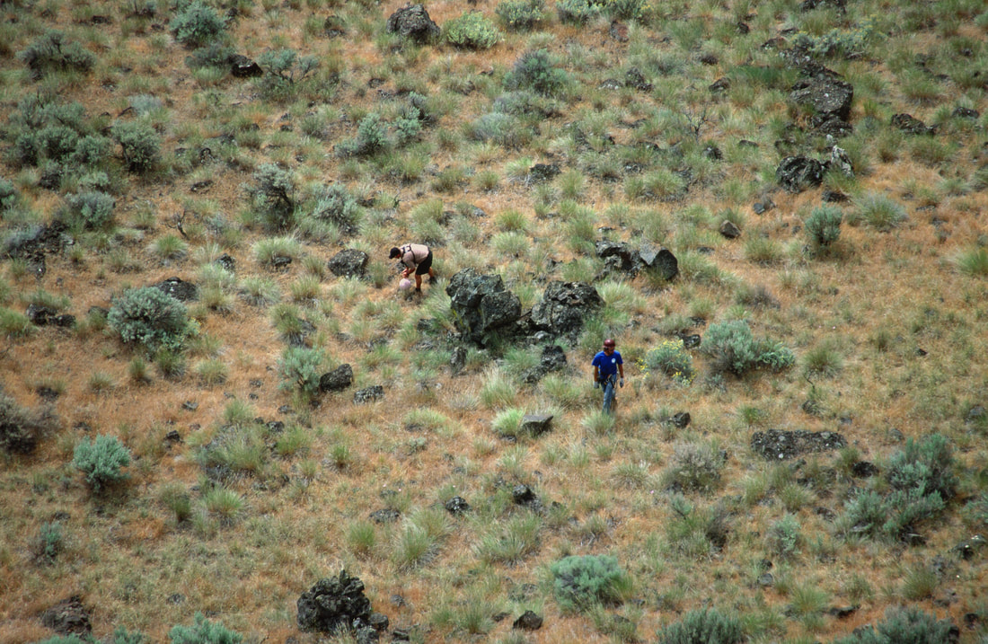
DURING THE MORNINGS AND DURING COOL WEATHER RATTLESNAKES HANG OUT ON THE SUN SIDE OF ROCKS AND BUSHES.
They are cold blooded and come out into the sun to warm.
If you are interested in hiking extensively in the Scablands, google Rattlesnake lower leg covers. These wraps fit around your lower legs and are impenetrable.
Don't miss out on hiking in the Scabs because of fear. Simple buy the leg wraps and enjoy this truly unique area of Washington State.
You will not regret the many places to hike. There are many waterfalls in the Scabs to explore.
R & P:
NA
PLAN YOUR TRIP:
Click for Current NOAA Weather Conditions
