LOWER 5520’ & UPPER CEDAR 5888’ LAKES
& DOME MOUNTAIN 7552’
EVENT TYPE: Hiking, backpacking, fishing, camping and swimming
DISTANCE: 12 miles RT
ELEVATION GAIN: 3108’ to upper lake
DIFFICULTY: Difficult
MAPS: Kootenai National Forest, Scenery Mt., Treasure Mountain
GPS: Upper 48°22’25”N 115°44’58”W. Lower 48°22’45”N 115°44’27”W
RANGER DISTRICT: Libby R.D. 406.293.7773
LINCOLN CVOUNTY SHERIFF: 911 or 406.293.4112
DISTANCE: 12 miles RT
ELEVATION GAIN: 3108’ to upper lake
DIFFICULTY: Difficult
MAPS: Kootenai National Forest, Scenery Mt., Treasure Mountain
GPS: Upper 48°22’25”N 115°44’58”W. Lower 48°22’45”N 115°44’27”W
RANGER DISTRICT: Libby R.D. 406.293.7773
LINCOLN CVOUNTY SHERIFF: 911 or 406.293.4112
DESCRIPTION:
WE HAVE ADDED THE AREAS SHERIFF’S EMERGENCY PHONE NUMBERS FOR EACH TRIP WRITE UP UNDER THE RANGER DISTRICT INFO. IF AN EMERGENCY OCURRS, EVALUATE YOUR CIRCUMSTANCES AND CALL ONLY IF NEEDED.
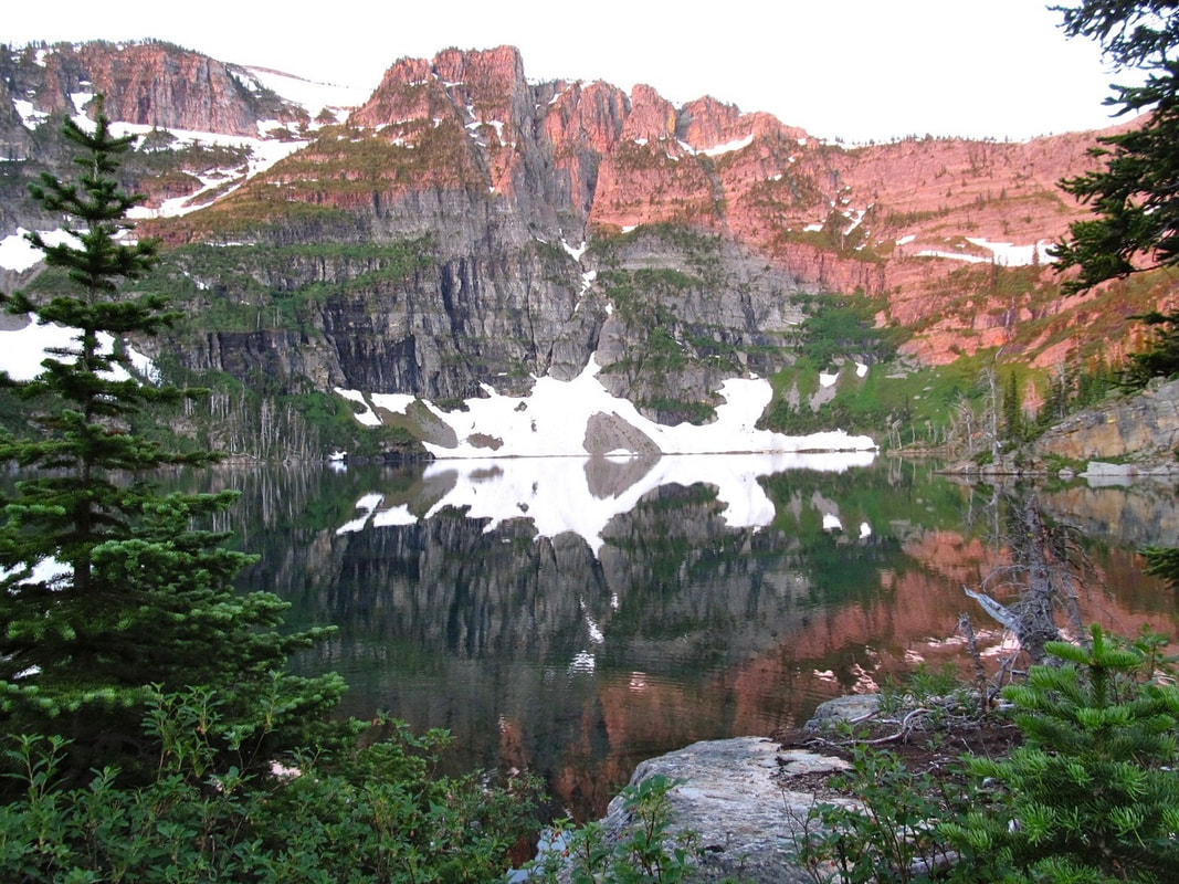
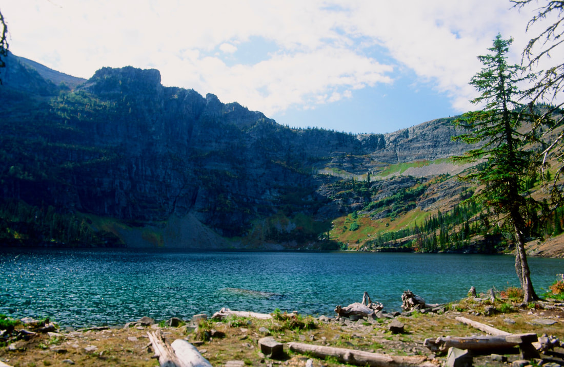
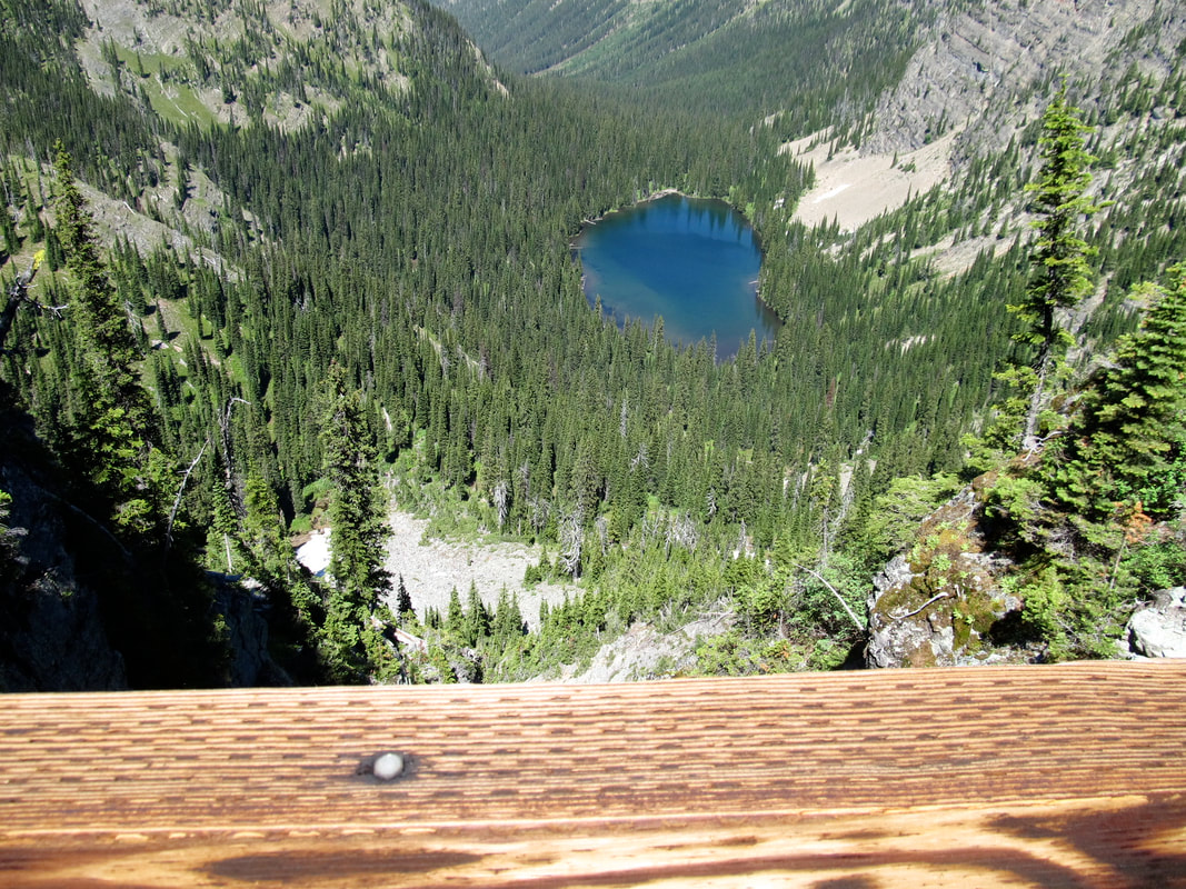
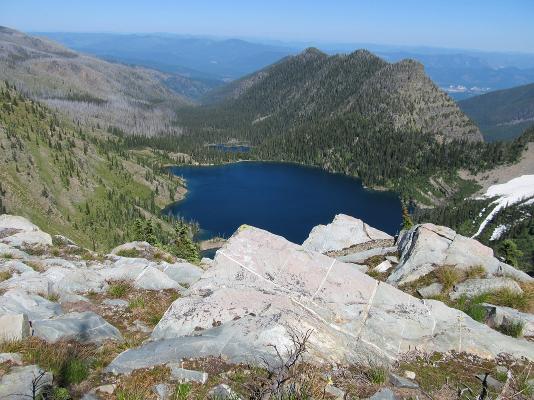
The Cedar Lakes trail starts from the north end of the wilderness off Highway 2, just west of Libby. Most of the trail skirts Cedar Creek to the lower lake. When the creek is close, wonder over and look at the creek bed. In places the bed rock is jet black with bright red rock inlay. Many small cascades offer great photo ops. The lower lake (5520') is smaller than the upper lake 5888'), but offers just as many spectacular views.
The upper lake is about 400' above, and is flanked by the enormous Dome Mountain 7552'.
This mountain's face rivals Leigh Lake's Snowshoe face in size and immensity.
OPTION #1:
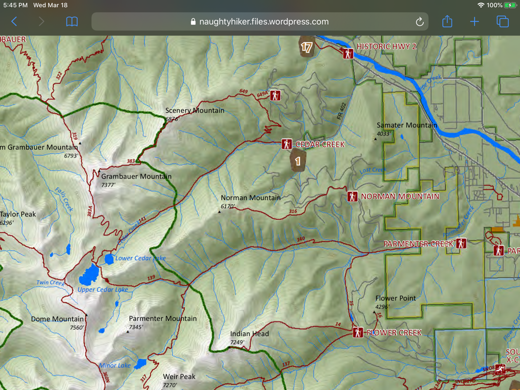
Dome Mountain towers above the upper lake at 1672', but is not visible from the lower lake. From Dome Mountain hike SSW above Parmenter Lake and Minor Lake to Sugarloaf Mountain. From Sugarloaf, hike north on Trail #317 to the junction with Trail # 140. In about 2 miles Trail #140 will come back to Lower Cedar Lake and down to the cars.
OPTION #2:
Scenery Mountain Loop
From the lower lake hike Trail #383 for 2.5 miles to Wm Grambauer Mountain 6793'. From here head east on Ridge Trail # 319 for 2 miles to Scenery Mountain 6875' and it's fire lookout tower.
From Scenery Mt., hike east on Trail #649 down 3.3 miles to a junction with Trail #141. Turn left (east) to the Cedar Lakes trailhead.
DIRECTIONS:
From Libby, head west on Highway 2 for about 3 miles and turn left (south) up Road # 402. Look for milepost # 27.7.
HAZARDS:
The trail is steep with 3108 feet of gain. There was a fire in the area, so shade is a premium along this trail.
Because the area is so scenic, start early to enjoy all there is to see.
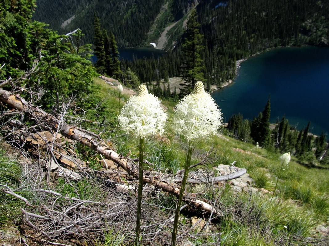
There are huckleberries for miles up the trail all the way to the camp. I found the first bear while brushing my teeth and headed to bed. The second one was in the hucks next to the trail on the way back out.
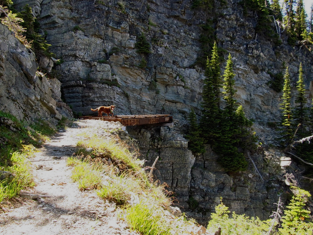
You really should consider gaining the ridge above the lake but be extremely careful crossing the manway. If you slip or trip and fall, it would be game over.
COOL THINGS CLOSE BY:
Kootenai River & Falls, Ross Creek Cedars, Dome & Sugarloaf loop backpack, and Libby, Montana
R & P:
Kaiju Bar & Grill. Henry’s in Libby near Roseaurs, Clark Fork Pantry & Squeeze In in Clark Fork. Eicharts, Mr Sub & Jalapeños in Sandpoint
In Libby, try the Shed south of town on Hwy 2
In Libby, try the Shed south of town on Hwy 2
