PADDLE DISTANCE: varies ELEVATION: 2066’ LENGTH AND ACREAGE: varies MAPS: IPNF, Priest River Topo LAUNCH GPS: 48°10’50” N 116°53’33” W BONNER COUNTY SHERIFF: 208.263.8417
DESCRIPTION:
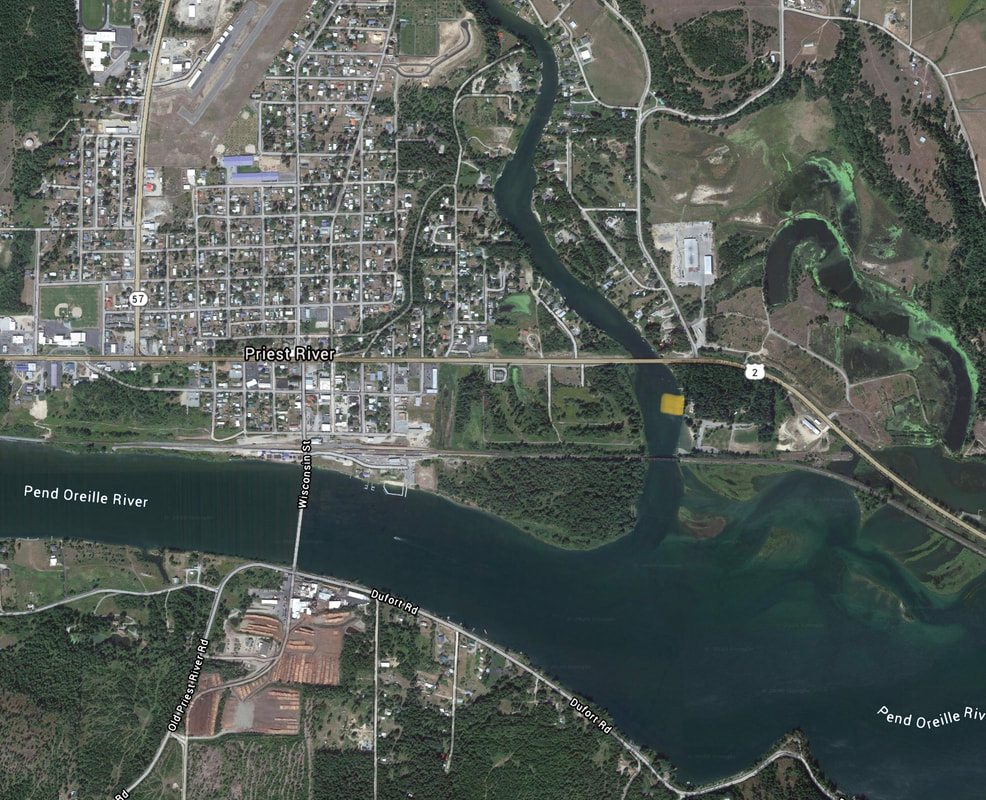
This off the P.O. River launch is at the confluence of the Priest River and the P.O. Rivers. Within the Priest River Recreation Area is the Priest River Park, with plenty of parking, restrooms, and a swimming area.
ATTRACTIONS
Off the P.O. River at the confluence of the Priest River.
DIRECTIONS:
From the stop light in Priest River, drive east on Hwy 2 for 1.3 miles to the entrance, next to the saw mill.
COOL THINGS CLOSE BY:
The American Selkirks, Upper & Lower Priest Lakes, Round Lake State Park, and the Pend Orielle River.