UPPER & LOWER ST. REGIS LAKES
EVENT TYPE: Day hiking, backpacking, fishing, Backcountry Skiing.
DISTANCE: 6 miles RT
ELEVATION GAIN: gains 1090 verts. Minimal loss to Lower St. Regis Lake
DIFFICULTY: easy
MAPS: I.P.N.F., LOLO N.F., Lookout Pass topo
GPS: 47°42’65”N 115°75’10”W
CDA RIVER RANGER DISTRICT: 208.752.1221
SHOSHONE COUNTY SHERIFF: CALL 911 FIRST or 208.556.1114
DISTANCE: 6 miles RT
ELEVATION GAIN: gains 1090 verts. Minimal loss to Lower St. Regis Lake
DIFFICULTY: easy
MAPS: I.P.N.F., LOLO N.F., Lookout Pass topo
GPS: 47°42’65”N 115°75’10”W
CDA RIVER RANGER DISTRICT: 208.752.1221
SHOSHONE COUNTY SHERIFF: CALL 911 FIRST or 208.556.1114
DESCRIPTION:
WE HAVE ADDED THE AREAS SHERIFF’S EMERGENCY PHONE NUMBERS FOR EACH TRIP WRITE UP UNDER THE RANGER DISTRICT INFO. IF AN EMERGENCY OCURRS, EVALUATE YOUR CIRCUMSTANCES AND CALL ONLY IF NEEDED.
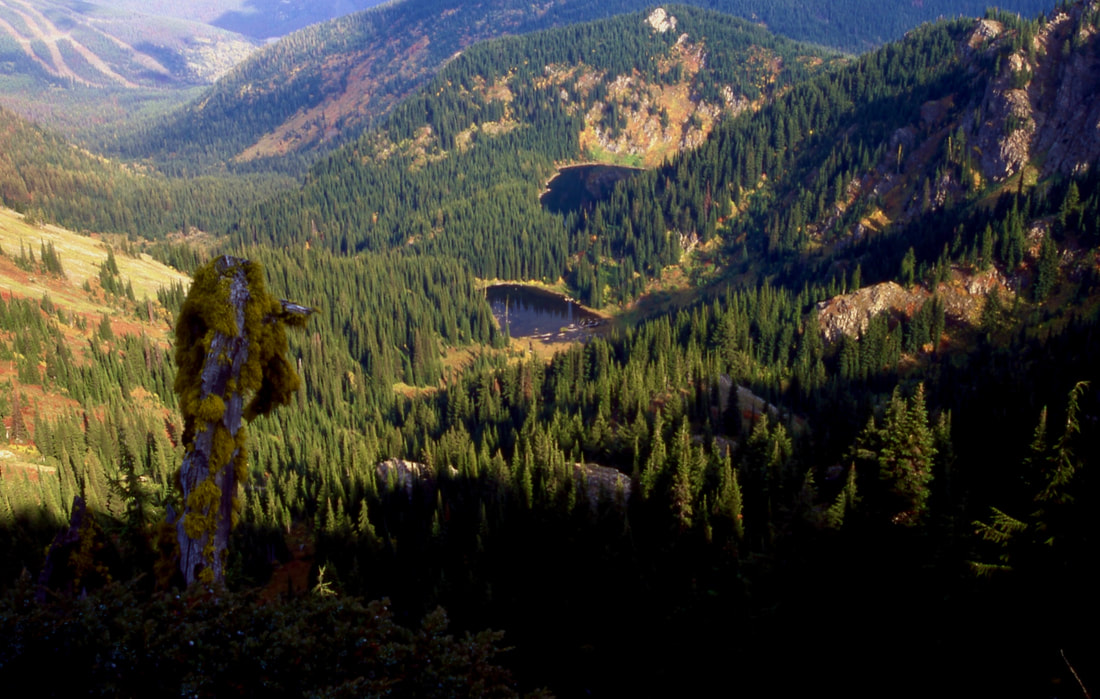
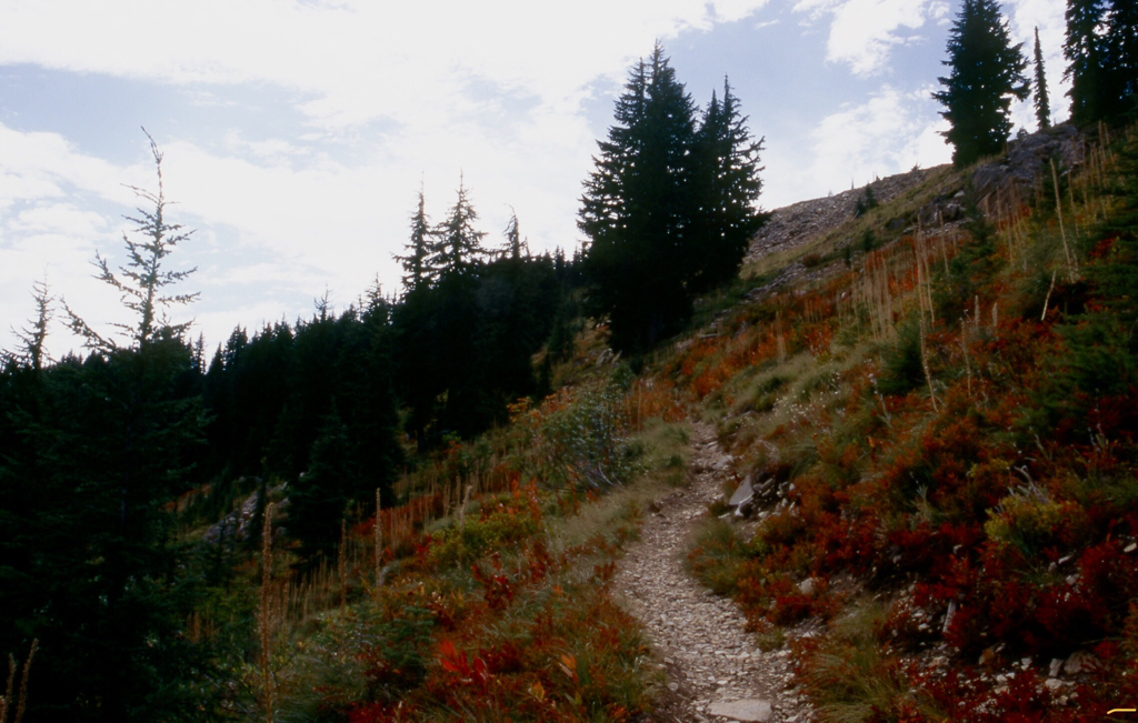
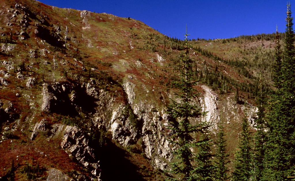
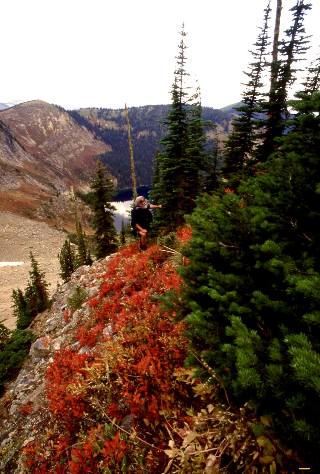
St.Regis Lakes are located in Montana SW of the Lookout Pass Ski Area. The trail starts at the old railroad's hairpin turn up the south side of the ski resort. If you don’t have a high clearance vehicle or 4 wheel drive, park near the south chairlift base. Walk the road west for about a mile to the official trailhead. Take Trail #267 south west up thru a canyon crossing the river three times before heading up to the lakes. At the second river crossing, the trail continues for a short distance, then bear right (west). At the trails third crossing of the river, the trail cuts up hill for about 400' to the lakes basin. The first lake you come to is actually the Upper St. Regis Lakes at 5990' while the second lake is the lower lake at 5559'. There are several campsite around the lake. Follow the trail thru the woods to the right (west), and you will find the lower lake. To the west is the very scenic ridge between St. Regis Lakes and U & L Stevens Lakes, and also is the Idaho Montana boarder and the State Line Ridge
St.Regis Lakes are located in Montana SW of the Lookout Pass Ski Area. The trail starts at the old railroad's hairpin turn up the south side of the ski resort. If you don’t have a high clearance vehicle or 4 wheel drive, park near the south chairlift base. Walk the road west for about a mile to the official trailhead. Take Trail #267 south west up thru a canyon crossing the river three times before heading up to the lakes. At the second river crossing, the trail continues for a short distance, then bear right (west). At the trails third crossing of the river, the trail cuts up hill for about 400' to the lakes basin. The first lake you come to is actually the Upper St. Regis Lakes at 5990' while the second lake is the lower lake at 5559'. There are several campsite around the lake. Follow the trail thru the woods to the right (west), and you will find the lower lake. To the west is the very scenic ridge between St. Regis Lakes and U & L Stevens Lakes, and also is the Idaho Montana boarder and the State Line Ridge
OPTION #1:
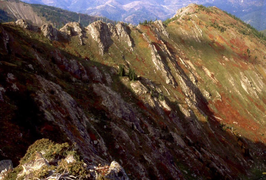
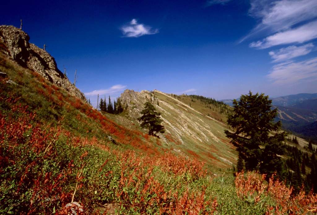
From the top of Lookout Pass Ski Area, head SW along the treed ridge until it breaks out of the woods and becomes open and rocky. Up near the south wall, the ridge gets dicy. You may have to drop off the ridge to the east to get past some intense jagged rocks. Once at the back wall, you can drop down to the Lower St. Regis Lake and make this a loop hike of about a 9 miles.
Be aware, the section on top of the ridge is very rugged and demands caution.
Be aware, the section on top of the ridge is very rugged and demands caution.
DIRECTIONS:
Drive I-90 east to the Idaho Montana boarder at Lookout Pass. Turn right (west) to the stop sign and turn left (south) onto a paved road (old railroad) downhill for .9 of a mile to a hairpin turn and turn right (west) for 1/10th of a mile to the trailhead.
About .1 of a mile further is a primitive area for camping. From the upper campsite, there is a short steep climb to the road and to the chairlifts.
About .1 of a mile further is a primitive area for camping. From the upper campsite, there is a short steep climb to the road and to the chairlifts.
HAZARDS:
During spring’s high water, crossing the river may be more difficult above the trailhead.
COOL THINGS CLOSE BY:
Lookout Pass Ski Area, Route of the Hiawatha, The Trail of the Coeur d'Alenes, historic Wallace, Idaho, and Montana
R & P:
Radio Brewing in Kellogg, Pizza Factory, 1313 Club, and Muchacho’s Tacos in Wallace
