24-NOVEMBER-2020 NEWSLETTER ISSUE #1
Nature Enthusiasts,
First and foremost, thank you for using our website. It’s a privilege for us, to provide up to date hiking and other outdoor activities for you.
Two years ago, after a Spokane Mountaineers Clean Up and Trail Maintenance at Stevens Lake, fellow member David Crafton and I discussed the website he was building. I had always wanted to design a coffee table photo guide of our region’s great places to play. But the cost was prohibitive. So when I got home, I looked up David’s website. A spark went off in my imagination. A week later, I proposed a cooperation between us to build the website you see today.
As David as the IT guy, and me writing and using our images, we agreed on the creation of the website. I spent over a year, researching and writing the text for each hike, while David created the website and template we are using. Today, you see our efforts in that cooperation.
During the writing and building of the website, I came up with all the things I’d like to see on our website.
One main goal, was to appeal to all levels of ability in the mountains.
Hence, we added to the template, the “OPTIONS” section to each hike.
It’s one thing to hike, for instance, to the upper Roman Nose Lakes, but by adding “OPTIONS” to each hike for those who likes to explore, we appeal to even the most adventurous hikers. The “OPTIONS” we list are for those capable of off trail hiking. Or as the Spokane Mountaineers call it, chicwackin’. Yes, they are more difficult, and often require better navigational skills, but they take you to the most beautiful places around each listed hike. I would like to state, that these “OPTIONS” aren’t for everyone. But for those who wish to explore, they are outstanding.
One of the things I like most about going to these places, is to see from up high, where else we can go play.
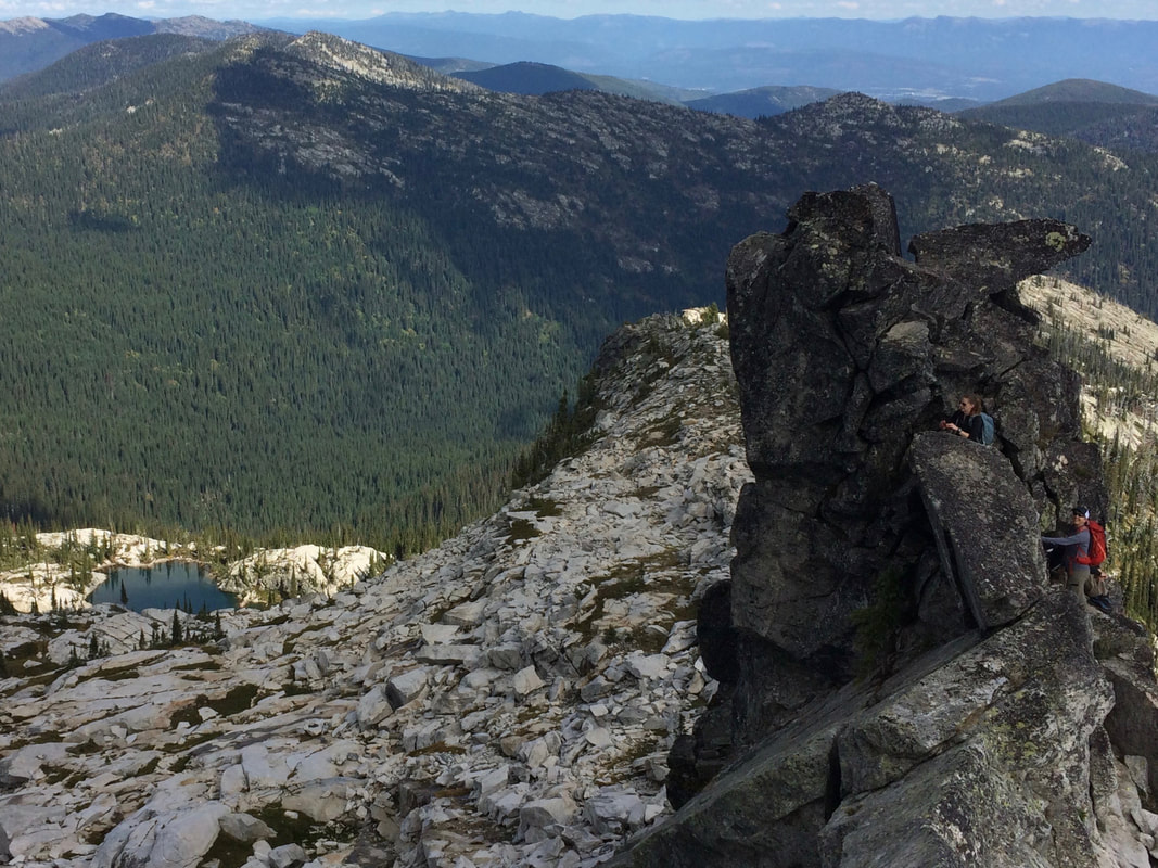
Seeing Roman Nose Peak from Beehive Lake, Harrison Peak, or Katka Peak, puts the whole area into perspective. The more you see from different vantage points, the more you will understand the perspective of an area.
When you look at our website, you will notice the top section that explains the particulars of the hike. Please be aware, that any two or three GPS units on the same hike, will give you sometimes vastly different readings. For that reason, I use a format that we all can use in unison. All of my general distance measurements and GPS coordinates are from Goggle Earth.
The actual hiking distances are from the local USFS maps and data and a collection of guidebooks. But the distance from this lake to that ridge, is from Goggle Earths measuring devise. I don’t give an estimate of hiking times, because, being a geezer, I hike slower, then a person half my age.
Not all hikes are successful. There may be washouts, road construction, and a number of other reasons you can’t get to the trailhead. For that reason, we list “COOL PLACES CLOSE BY”. They are like hikes, close by, just in case you can’t make it to your original destination. ALWAYS take with you to the trailhead, and on your hike, a USFS Forest regional map. If you can’t get to the trailhead, your Forest map, and our suggestions, may save the outing. Topo maps or copies on your phone, will give you enough info to proceed to a different location.
Also, on our landing page, is an “ALERT” notice. This last year, the Boundary County Roads and Bridges Department, replaced a bridge 600’ south the road to a major trailhead. Drivers had to do an hour drive via Hwy 95 and State Hwy 1 up near the Canadian border, just to get to the desired trailhead. We hope this type of info can save us all, some aggravation.
Lastly, in the description for a hike, there is important info on where to eat after a hike. These Restaurants and Pubs are places I’ve been to, and can recommend. I would like your input, not only on my suggestions, but we encourage you to let us know of places you’ve visited that offer great food and drink.
Other features in the drop down menu, are geographic, geologic, and/or other historical data. Click on, for instance, American Selkirks twice. This will bring up data on the area. And in the case of the American Selkirks, I guarantee you will be amazed. But take with you, your imagination. I’m still blown away at what I discovered. The section on the Washington Scablands, explains why our region, to the west is so spectacular. I’ll bet you never knew that we live in an area that was once, Earth’s greatest catastrophe.
In the drop down selection, I’ve included “THE 13 ESSENTIALS”. Please read this section. I have a 13 essential pouch in every one of my packs, wether in hiking or paddling or whatever. They are things that very well could save your life. And PLEASE, PLEASE, if you hike with a spouse, make sure they have their own pack with the 13 essentials, warm clothing, AND FOOD. Stuff happens in the mountains. If you are carrying all the food and essentials, and your spouse gets separated from you, what is your spouse going to eat or survive on, or start a fire with?
And PLEASE, if you see anything that is not correct, let us know so we can make the necessary changes, deletions, or corrections.
You can contact us thru the website about particulars on hikes or paddles. But be aware. We are out playing a lot, doing research for the site, etc.
Hahaha! Please plan ahead.
David Crafton and Chic Burge
InlandNWRoutes.com
01-SEPTEMBER-2020
20-JUNE-2020
We started working on the Paddle Routes section. Check back over the next couple weeks as we update the routes.
05-JUNE-2020
30-MAY-2020
25-MAY-2020
16-MAY-2020
20-APRIL-2020
3-APRIL-2020
25-MAR-2020
Updated many routes including:
Little Harrison Lake 6271' Selkirks
Harrison Lake & Peak 7292'. Selkirks
Mount Roothaan and Chimney Rock 7124' Selkirks
Rock Lake, C.M.W.
Granite Lake CMW
Lower & Upper Geiger Lakes & Lost Buck Pass CMW
Cliff Lake, Chicago Peak, St. Paul Peak CMW
Ward & Eagle Peaks Bitterroots
Lower & Upper Blossom Lakes. Bitterroots & Silver Valley Area
Red Top. Selkirks
Little Harrison Lake. CMW
Beehive Lakes. CMW
Long Mountain Lake & Peak. Selkirks
Hunt Lake. Selkirks
Selkirk Crest High Traverse. Selkirks
Mount Roothaan & Chimney Rock. Selkirks
Pyramid-Ball Lakes. Selkirks
Harrison Lake. Selkirks
Leigh Lake, CMW
Roman Nose Lakes & Peak. Selkirks
Cabinet Divide Trail #360. CMW
Cliff Lake, Chicago Peak, St. Paul Peak
