ST JOE LAKE 6472’ ILLINOIS PEAK 7690’
EVENT TYPE: Hiking, backpacking, scrambling
DISTANCE: Lake 12 miles RT. Lake basin circuit about 5 miles RT
ELEVATION: St Joe Lake 6472’, Unnamed Peak 7260’, Graves Peak 7235’, Illinois Peak 7690’, Gold Crown Peak 7374’
DIFFICULTY: St Joe Lake Moderate, Unnamed Peak 7260’ Difficult, Graves Peak Moderate, Illinois Peak Moderate, Gold Crown Peak Difficult
MAPS: IPNF - St Joe N.F., Illinois Peak, MT-ID
GPS: N47° 1’ 3.71” W115° 4’ 51.49”
DESCRIPTION:
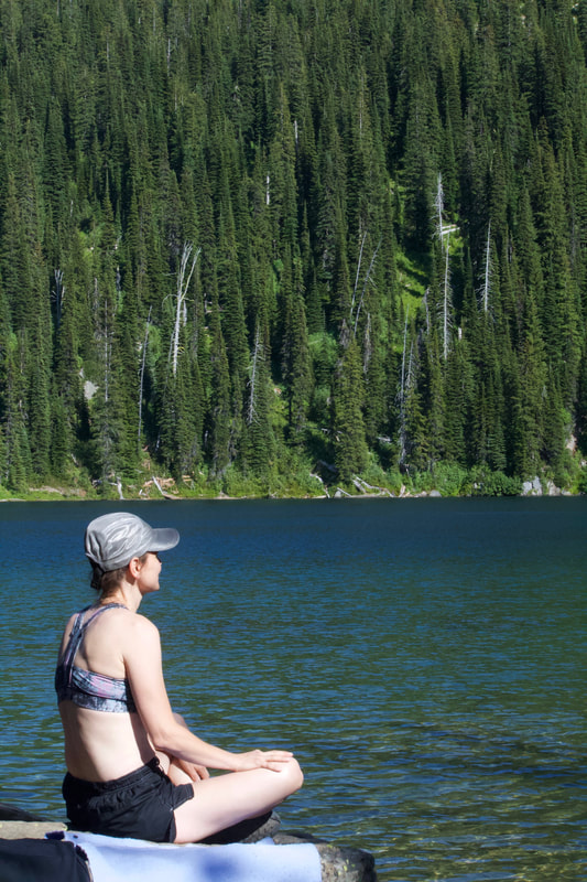
The trail starts off pretty flat with two easy stream crossings in the first mile or so. It continues to follow the river in a flat valley for a couple miles and then starts gaining elevation and increasing in grade as you approach the lake. Just before the lake is a huge meadow filled with flowers and views of Gold Crown Peak and Rambikur water fall. Once at the lake there are three large established camps on the NW shore. There is a bench and large meadow about four hundred feet up on the east side of the lake which appears to have a spring water source. There maybe a camp just past the inlet water fall on the back side of the lake. Do not camp there if there is not an established camp.
DIRECTIONS:
Take I-90 east to Superior, MT. Exit south and follow Diamond Rd a short distance to Cedar Creek Road FS-320. It is about 25 miles to the pass and another 6 miles to the trail head. About 1.5 hours of driving on the dirt. The Montana side is well maintained. The Idaho side not as well.
OPTION #1:
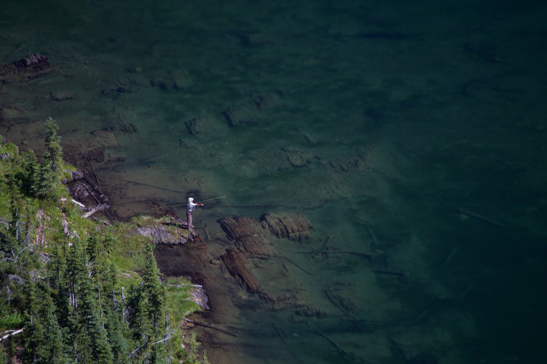
Hike to the lake and set up camp. The next day take a moderate day hike on a maintained trail to bag Illinois Peak. From there you can see into the Canadian Rockies and Glacier N.P. to the north east and east. There are several mine prospects and the foundation of an old fire lookout. There appears to be two pet graves at the site too. Return the same way you came to the lake for an afternoon swim and then catch some fish for dinner.
OPTION #2:
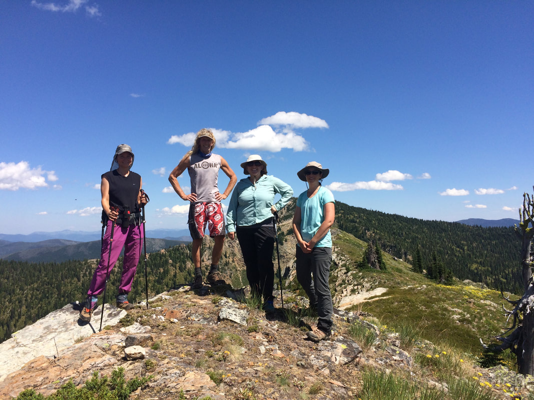
Take a day to circumnavigate the entire lake basin bagging all four peaks along the way. About half of the circuit is cross country with out a trail. We started off gaining the lowest saddle on the south side of the lake and bagged Peak 7260’ first. We followed up the south side of the ridge. It is steep bear grass but in less than an hour you are at the top from the lake. Go back down to the saddle and climb the ridge line to the east until you hit the State Line Trail and follow it until you see the bench and pond below. Start looking for a decommissioned trail on the right headed uphill and SW. Follow it to gain the ridge line again and then go cross country up the spine to the summit of Graves Peak. This was an easier push than the first peak. Go back down to the State Line Trail and follow it to Illinois Peak. There is more than one spur trail on the right that will take you to the top. Take the trail back down toward the lake until you are just below the saddle on the ridge to Gold Crown Peak. Leave the trail and hike up to the ridge and follow it to a double peak with spectacular views of the basin and all the work you have done the last few hours. There are some interesting rocks and old wind blown trees up there too. Side hill back down SE towards the lake staying in the meadow and out of the trees until you hit the trail leading back down to the lake. Time: 6 hours 15 minutes.
OPTION #3:
You can do a point to point hike if you have a shuttle. Take two cars to the trail head and park one. Drive back six miles to the pass and hike the Stateline National Recreation Trail to the lake. On the last day take trail 49 down the river to the trail headed. Pick up the second car on the way back to Superior.
COOL THINGS CLOSE BY:
Red Ives, Avery, North Fork of the Clearwater River, Kelly Creek, Clark Fork River
HAZARDS:
All the normal hazards of scrambling steep terrain and ridges with drop offs on the other side. Stay away from the edge and there is little or no hazard.
R & P:
Radio Brewing in Kellogg, City Limits Pub in Wallace


