PADDLE DISTANCE: varies ELEVATION: 2067’ LENGTH AND ACREAGE: varies MAPS: Farrugut State Park, I.P.N.F., Bayview & Lakeview topos LAUNCH GPS: 47°57’54” N 116°32’44” KOOTENAI COUNTY SHERIFF:208.446.1300
DESCRIPTION:
The Farragut State Park launch puts you out on the main body of the lake instantly. There are two lanes to the launch and ample parking above the launch, restrooms, and beaches on both sides of the launch for swimming. Because it’s a state park, there is a small fee to enter and use all the parks facilities. Including a swimming area, trails for hiking & Mt. Biking, and camping.
ATTRACTIONS
FOR MORE INFO ON WHERE TO PADDLE, SEE THE BAYVIEW LAUNCH WRITE UP. Outstanding paddling to Blackwell Point and Echo Bay. Idlewilde Bay, Buttonhook Bay, swimming area, and hiking
DIRECTIONS:
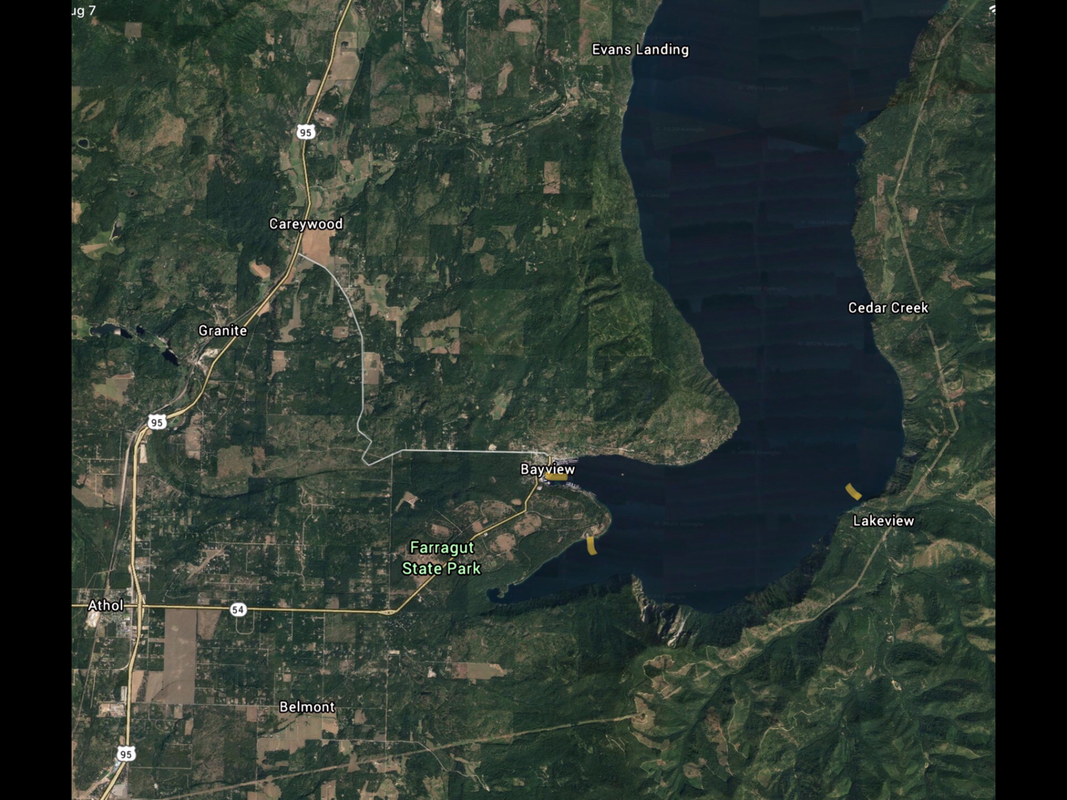
From CDA drive north on 95 to Hwy 54 in Athol. Turn right (East) on 54 for 4 miles to the pay station. Once back on 54, in about 1/4 a mile turn right (East) onto the South Road. Continue past the swimming area turn off to the launch road.
COOL THINGS CLOSE BY:
Blackwell Point, Echo Bay, Lakeview, Idlewilde Bay, Buttonhook Bay, and Bayview